 |
| The ferry from St Barbe, Newfoundland to Blanc Sablon, Quebec |
You would think that the government would just fix the potholes instead of putting up a sign to caution you about them, but I guess it costs less to put a post in the ground with a sign on it.
The Apollo ferry landed at Blanc Sablon, Quebec after about a 90 minute crossing from St. Barbe, Newfoundland. After about 5 minutes of driving, we were in Labrador. Labrador is on the mainland of Canada but is part of the province of Newfoundland and Labrador. We wanted to experience both parts of the province and we certainly did.

During the first day, we visited the Point Amour lighthouse which is still in use. For those of you who know some French, you might think that the name has something to do with "love", but the original name is Point aux Morts, or "Point of the Dead". It is the tallest lighthouse in Atlantic Canada and the second tallest in Canada at 109 feet (33 metres). The walls of the lighthouse are 9 feet thick with stone at the base and less than 4 feet thick at the top. We had a guided tour from a very informative guide. The lighthouse was manned from its construction in 1857 until it was automated in 1996. From the top, we had a superb view of the St. Lawrence River and saw an iceberg, a whale and several dolphins.

 |
The light bulb inside the light. Notice the prism like thick glass.
This is what makes the light visible at great distances. |
We went as far as Red Bay on the first day. The next morning, we set out for Mary's Harbour in hopes of getting over to Battle Harbour, a National Historic site, but arrived too late for the only boat that takes people across to the island, so we continued on to Port Hope Simpson on the Atlantic coast. Battle Harbour was, for almost two centuries, the economic and social centre of the southeastern Labrador coast. It is located on Battle Island and despite its name, was not the scene of some epic battle. rather, its name is thought to have been derived from the Portuguese word for a boat,
batai.
 |
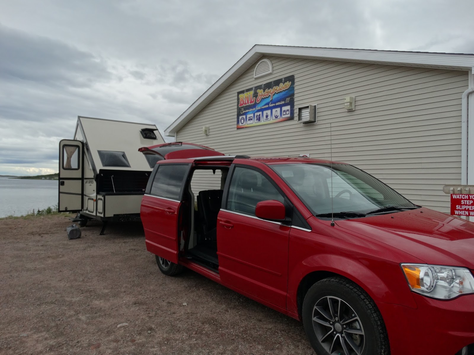
The RV over night stop in Red Bay. There were 4 spaces next to
the convenience store/gas station. There was water and electrical
hook up and nothing more. The store closed at 9 p.m. so access to washrooms
were only during the day. Cost of a shower was $6.00 |
To the east of Red Bay, the Labrador Coastal Highway is unpaved. Although we were told that it is graded regularly, it was in pretty rough shape and our trailer suffered for it. Several things inside came apart and had to be jury-rigged to get them back in usable shape until we could get the trailer to a repair shop upon our return home.
 |
| Gravel roads with surrounding landscape |
The landscape of Labrador was somewhat different from Newfoundland. It is also of volcanic and glacial origin, but in Labrador the land is not as hilly and there are many areas where you can see huge boulders the size of small cars dotting the landscape as if they were strewn about like marbles. There were also areas of sand dunes and some sandy beaches. The rock faces do not show as much upheaval as do the ones in Newfoundland.
 |
| Boulders on the landscape |
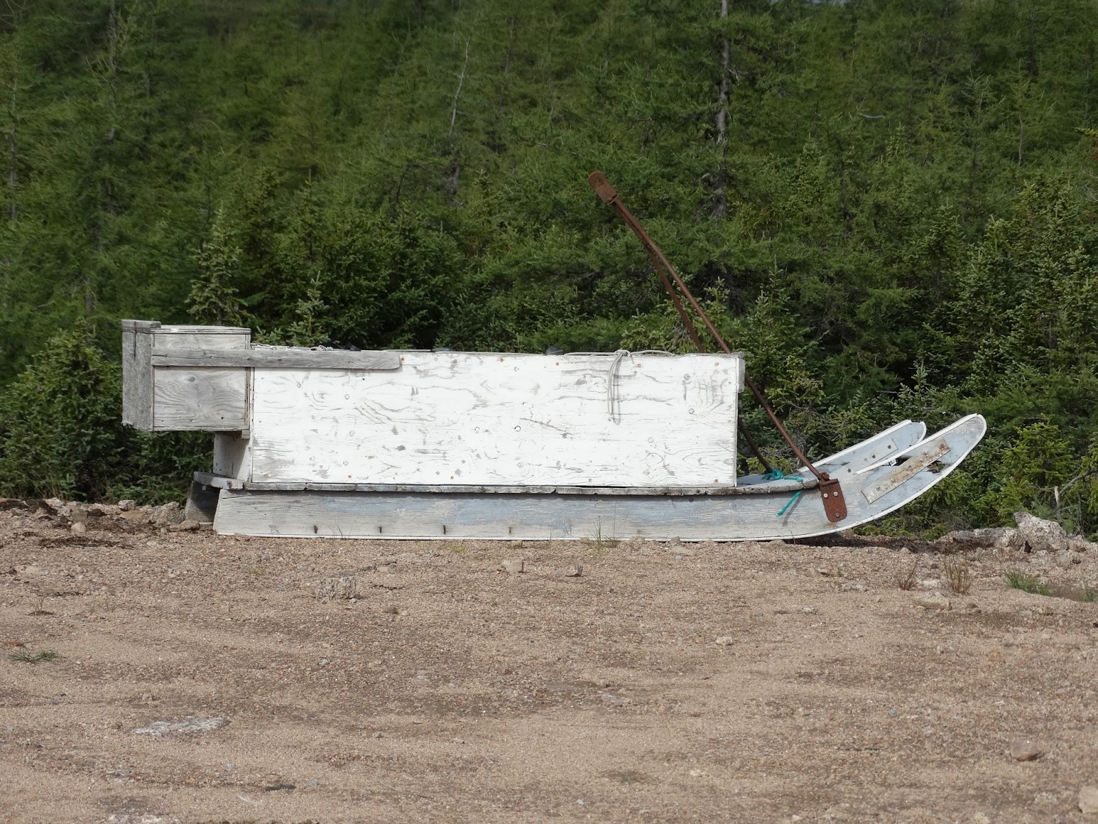
On the road side, a mini house up on a pile of rocks
 |
Why is it there and what does it mean? Notice that rocks
are placed on top to hold it down from the wind. |
Port Hope Simpson was named after Sir John Hope Simpson, a British politician who served in the government of the Dominion of Newfoundland from 1934 to 1936. Although the town (population around 500-600) had some economic success as a forestry base and later in the fishery, since the cod moratorium of 1992, it has struggled to remain relevant. The gravel road leading to the town deters many tourists from driving there and there is very little reason to go there, other than as a way point en route to Happy Valley/Goose Bay. The only RV site in town had closed down at least a year ago, so we decided to treat ourselves to a night in the only hotel in town, The Alexis. The next day, we travelled back on the same gravel roads and took the afternoon ferry back to Newfoundland.


 During the first day, we visited the Point Amour lighthouse which is still in use. For those of you who know some French, you might think that the name has something to do with "love", but the original name is Point aux Morts, or "Point of the Dead". It is the tallest lighthouse in Atlantic Canada and the second tallest in Canada at 109 feet (33 metres). The walls of the lighthouse are 9 feet thick with stone at the base and less than 4 feet thick at the top. We had a guided tour from a very informative guide. The lighthouse was manned from its construction in 1857 until it was automated in 1996. From the top, we had a superb view of the St. Lawrence River and saw an iceberg, a whale and several dolphins.


No comments:
Post a Comment